Aviation Weather Observation System - AWOS

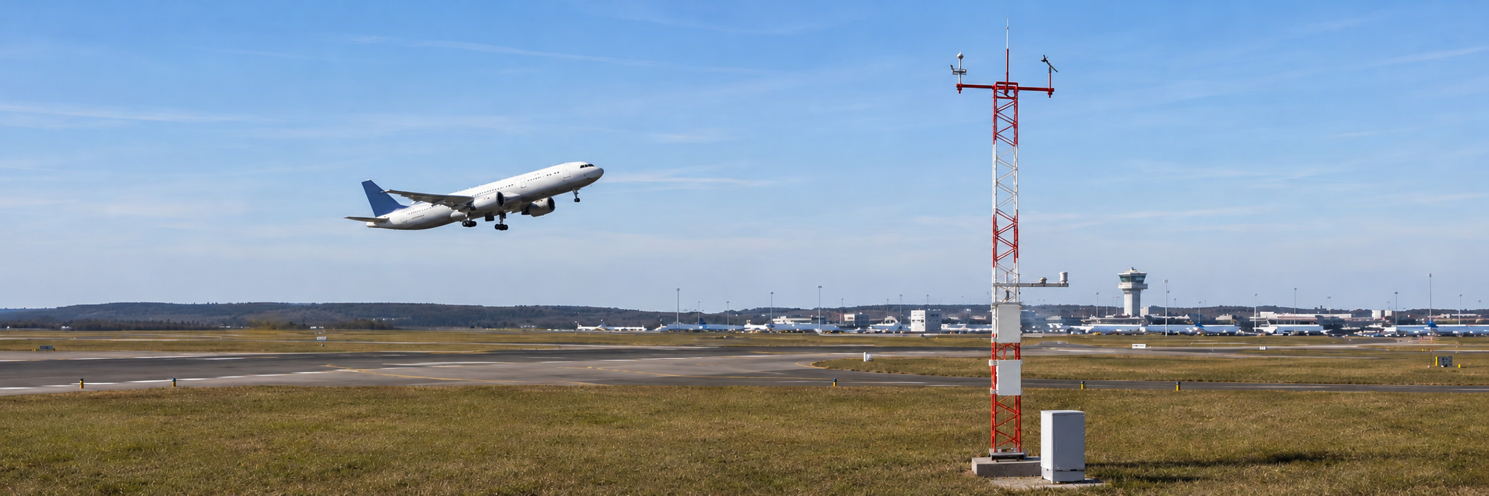
ICAO-aligned weather intelligence for safer takeoffs, landings, and airfield operations. For civil and military airports, heliports, drone corridors, and remote airfields.

Aviation Weather

Weather Is the Variable That Moves Every Other Variable

In aviation, weather is the live input that drives almost every operational decision. When to take off, when to divert, when to clear a runway, when to hold ground crew. A delay of minutes due to fog or a sudden crosswind can ripple into hours of disruption across a network.

Many airfields still depend on ageing single-purpose instruments, manual observations, or generic weather stations that were never engineered for aviation use. The data arrives late, fragments across multiple screens, and rarely meets ICAO recommendations for accuracy, sampling interval, or redundancy.

Wetec supplies and integrates aviation-grade weather observation systems that bring every relevant atmospheric variable onto a single platform, available to tower, cockpit, and ground teams in real time.
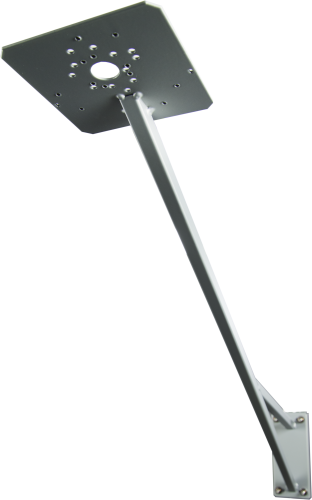
What You Can Measure

Aviation weather observation systems include the following measurements, deployed singly or combined into a full AWOS installation:

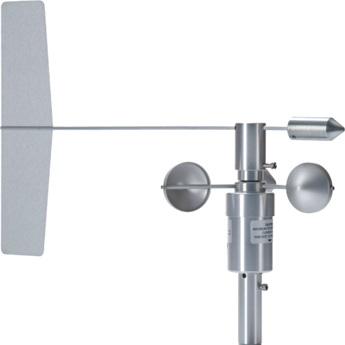
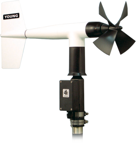
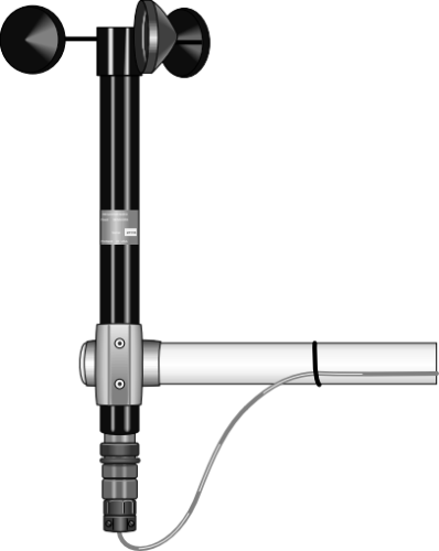
  • Surface wind (speed and direction): ultrasonic and mechanical anemometers placed at runway threshold, midpoint, and stop end, providing the wind data pilots and controllers use for runway selection and crosswind decisions.

  • Runway visual range (RVR) and visibility: forward-scatter visibility sensors and transmissometers, reporting in line with ICAO Annex 3 requirements for low-visibility operations.

  • Cloud base height: laser ceilometers measuring cloud layers and vertical visibility, used for VFR, IFR and approach minima decisions.

  • Present weather: automated sensors identifying rain, snow, hail, fog, mist and other weather phenomena, replacing manual observer codes.

  • Temperature, humidity, and pressure (QNH, QFE, QFF): precision sensors providing the altimeter-setting figures every cockpit needs before approach.

  • Lightning detection: total lightning sensors covering cloud-to-ground and intra-cloud strikes, supporting ground-crew safety and refuelling holds during convective weather.

  • Runway condition and surface state: runway sensors measuring water film thickness, ice, snow, and surface friction estimates for winter operations and contaminated runway reporting.


Applications

  • Civil and international airports requiring ICAO-compliant AWOS or AWS installations
  • Military airbases and rotary-wing operations
  • Regional and remote airfields with limited on-site meteorological staffing
  • Heliports, offshore helidecks, and rooftop helipads
  • Drone corridors, vertiports, and UAS test ranges
  • Pilot training schools and flight schools
  • Emergency response and disaster relief landing zones

Frequently Asked Questions

Most installations are designed around ICAO Annex 3 (Meteorological Service for International Air Navigation) and the associated WMO and FAA references. The exact requirements depend on the airport category. A Category I instrument runway has different RVR and ceiling requirements than a VFR strip. Wetec specifies and configures each system around the relevant standard and your civil aviation authority's local rules.