Automatic Weather Station

Round-the-clock, real-time measurement of every key atmospheric parameter. For research stations, plantations, ports, construction sites, and meteorological networks.

Weather Monitoring - Automatic

The Weather Doesn't Pause, Your Data Shouldn't Either

A site without automatic weather monitoring is a site running on guesswork. Manual readings happen when staff are available, basic stations capture only the obvious parameters, and the moments that actually matter (the rainfall burst at 3 a.m., the wind gust during a critical lift, the dry spell that quietly stresses a crop) often arrive without a record.

The cost of that gap shows up in many small ways. Decisions made on stale forecasts instead of live site data. Insurance claims that cannot be defended without proof of conditions. Research datasets with holes that no amount of post-processing can fill.

Wetec designs and supply full Automatic Weather Station that measure every relevant atmospheric parameter continuously, transmit the data in real time, and produce records suitable for regulatory reporting, research publication, or operational dashboards.

What You Can Measure

Full AWS configurations include the following parameters, deployed singly or combined into a complete WMO-class meteorological station:

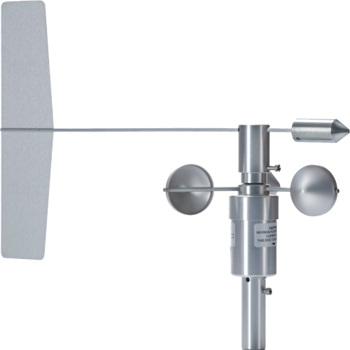
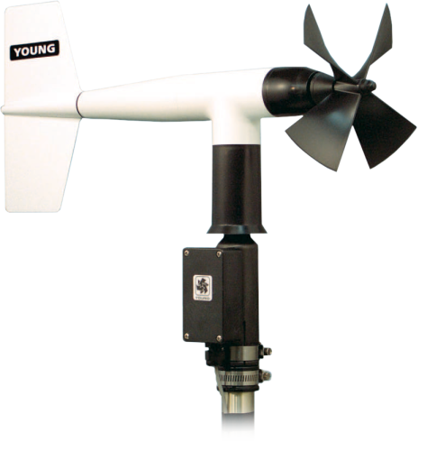
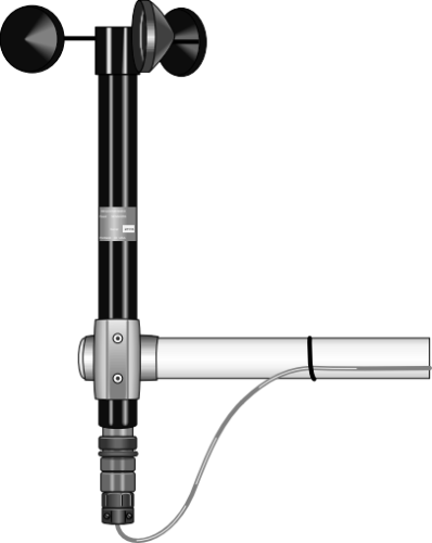
  • Wind speed and direction: surface wind data needed for site safety, plume modelling, and meteorological reporting.

  • Rainfall: tipping bucket and weighing gauges measuring rainfall depth, intensity, and accumulation.

  • Solar radiation: pyranometers for global horizontal irradiance, optional pyrheliometer and shaded pyranometer for direct and diffuse components, and UV sensors where required.

  • Air temperature and relative humidity: PT100 or capacitive sensors mounted in passive or aspirated radiation shields, providing the reference data for almost every other meteorological calculation.

  • Barometric pressure: precision pressure sensors providing station pressure, sea level pressure, and pressure tendency for forecasting and altimeter reference.

  • Evapotranspiration and reference ET: combined sensor setups for FAO Penman-Monteith reference evapotranspiration, used in agricultural water management and irrigation scheduling.

  • Soil parameters: soil moisture, soil temperature, and heat flux sensors at multiple depths, useful for agriculture, hydrology, and surface energy balance studies.

  • Visibility, cloud, and present weather: optional add-ons for sites where visibility or cloud information is needed alongside the standard parameters.

Applications

  • National and regional meteorological networks

  • Agricultural and plantation operations, including reference and microclimate stations

  • Construction and infrastructure projects requiring site weather records

  • Ports, marine terminals, and offshore installations

  • Mining, quarrying, and energy sites

  • Research institutions and field stations

  • Smart city and environmental monitoring deployments

  • Insurance and risk monitoring installations
Frequently Asked Questions

A full Automatic Weather Station measures the complete WMO surface station parameter set: wind, rainfall, solar radiation, temperature, humidity, pressure, and usually additional parameters such as soil moisture, soil temperature, and evapotranspiration. A basic station measures only the headline parameters. The "full" specification is what you need for research, regulatory reporting, and any application where the data has to stand up to scrutiny.