

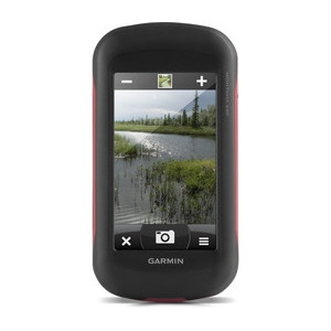
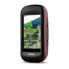
Garmin Montana® 680
InfrastructureSurveying Equipment
Garmin Montana 680 features a dual-orientation, color touchscreen that’s glove friendly. The digital camera provides high-quality images, excellent resolution and automatically geotags photos with coordinates. Handheld includes 3-axis tilt-compensated compass, barometric altimeter and access to both GPS and GLONASS satellites for improved positioning and typically faster fixes.
Quantity
Related Products
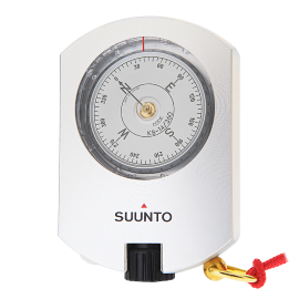
Suunto KB-14/360/R
The Suunto KB-14/360/R hand-held precision compasses are used all over the world by foresters, surveyors, engineers, cartographers, geologists, miners and…
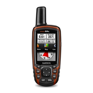
Garmin GPSMAP® 64s
GPSMAP 64s features a 2.6” sunlight-readable color screen and a high-sensitivity GPS and GLONASS receiver with a quad helix antenna for superior reception.
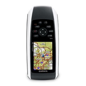
Garmin GPSMAP® 78
Garmin GPSMAP® 78 comes with built-in worldwide basemap, so you can navigate anywhere with ease.
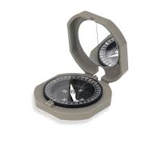
Brunton Cadet Compass
The Brunton Cadet Compass is notably compact, the compass boasts an azimuth resolution of 2 degrees with graduations in 0 to 360 degrees and 0 to 90 degree…