

Brunton ClinoMaster™
InfrastructureSurveying Equipment
The Brunton ClinoMaster™ represent the highest quality in precision sensitivity and durability. The ClinoMaster can measure the height, angle and slope of almost anything readable from 0-90° and 0-150°, with estimations to 0.25°. A rugged, aluminum housing has inch and mm scales. It also features a tangent table for quick height measurement, useful distance conversions and a tripod adapter hole for inclination measurement using our tripod and monopod.
Quantity
Related Products
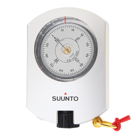
Suunto KB-14/360/R
The Suunto KB-14/360/R hand-held precision compasses are used all over the world by foresters, surveyors, engineers, cartographers, geologists, miners and…
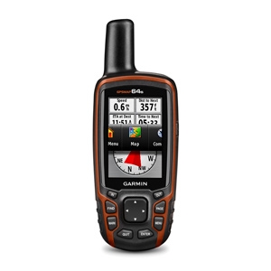
Garmin GPSMAP® 64s
GPSMAP 64s features a 2.6” sunlight-readable color screen and a high-sensitivity GPS and GLONASS receiver with a quad helix antenna for superior reception.
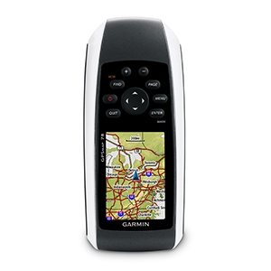
Garmin GPSMAP® 78
Garmin GPSMAP® 78 comes with built-in worldwide basemap, so you can navigate anywhere with ease.
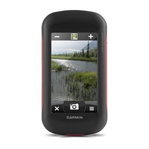
Garmin Montana® 680
Garmin Montana 680 features a dual-orientation, color touchscreen that’s glove friendly.